
The Project
With backcountry activities becoming increasingly popular as equipment prices drop and areas become more accessible the need for safety equipment has never been greater. With 8 people losing their lives just in March of 2014, it is clear something needs to be done.
Skills Used
User Research
Mechanical Design
Product Testing
Branding

The Starting Point
Understanding the Situation.
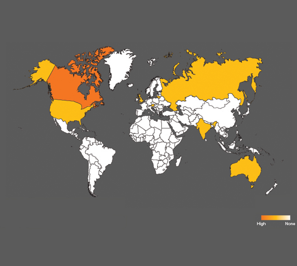
But where does one start with such a problem? Many suggest that search rescue crews must be given more funding so that they may be able to respond more quickly and effectively, but statistics show that if a victim is rescued within 15 minutes of being buried there is a 93% survival rate, which drops significantly to 33% after only 30 minutes (the average response time of even the best rescue crews). The answer is clear. We must give backcountry enthusiasts the ability to locate and rescue each other in a more effective manner. But how?
Research
Real world scenarios.
User Interviews
Surveys
By reaching out to other backcountry enthusiasts I was able to gain valuable insights on how people use the current technology and what some of the key areas of improvement were. The recurring themes through all of the interviews and surveys was a need for better accuracy and clarity. Current beacons convey information using only a series of flashes and beeps which, in a moment of panic, can be easy to misinterpret. With this limited form of communication it is also difficult to provide any real accurate information as to the direction and distance to a person.
Insights
A Technological Approach.
This research led to the discovery of a small (at the time) Australian Company named Locata, who was developing local, ground based positioning networks that would allow for precise locating in places traditionally off limits to GPS such as mines, warehouses, and urban centers. After discussing my concept with the company we believed that, once this technology reaches consumer scale, it would be able to locate other transmitters buried under snow with the same accuracy as it does in it’s other applications.


Design & Testing
Communicating the Data.
With a clearly defined problem and backend solution in hand, the focus became how to convert that information into something that would clearly communicate a person's location. Through low resolution paper mockups and some guerilla usability testing I came to augmented reality display as a potential solution. By overlaying the critical information on the users field of view it became very difficult to misinterpret what they were seeing.

Design & Testing
The Physical Interface.
After the display technology was decided, the next step was to develop the physical device that people would interact with. Keeping in mind that, in many cases, people would be wearing heavy winter gloves I created a number of prototypes. Starting with low fidelity foam models and eventually working up to highly detailed 3d printed prototypes I eventually settled on the devices’ final form.
Final Product
Enter ALPSS, the avalanche locator and personal security system. ALPSS utilizes Locata locating technology along with an augmented reality display to provide clear and accurate information to users with the hopes of saving lives and making the rarely seen corners of nature safer and more accessible to everyone.
